EOSDA
Overview of EOSDA
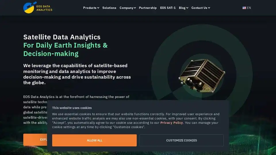
EOSDA: Satellite Data Analytics for Informed Decisions
What is EOSDA?
EOS Data Analytics (EOSDA) is a leading provider of satellite data analytics, specializing in AI-powered solutions for agriculture and forestry. They leverage satellite technologies to provide businesses with fast, actionable data while promoting sustainability.
How can EOSDA help your business?
EOSDA offers a range of products and services designed to improve decision-making across various industries. Their solutions include:
- EOSDA Crop Monitoring: A platform for farmers and agribusinesses to remotely track crop health using satellite imagery and geospatial analytics. Features include field data storage, cropland management, weather forecasts, and activity planning.
- EOSDA LandViewer: A space data analytics software for storing and processing satellite imagery. It allows users to gain a bird's-eye view of any area of interest to solve real-world business problems.
- High-Resolution Imagery: EOSDA resells high-resolution imagery from the world's best satellites to meet specific satellite imagery analysis needs.
Why choose EOSDA?
- Sustainability: Environmentally friendly analytics solutions that align with the planet's needs.
- Expertise: A team of experts with extensive experience in satellite image analysis.
- Comprehensive Data: Combines data from multiple sources, including satellite imagery, historical parameters, and custom indices.
Where can you use EOSDA?
EOSDA's solutions are applicable across a range of industries, including:
- Agriculture
- Forestry
- Insurance
- Finance
Best way to get started with EOSDA?
Contact EOSDA to schedule a demo and discuss your specific needs. They offer customized solutions and support to help you leverage the power of satellite data analytics.
AI Customer Service Chatbot AI Voice Customer Service AI Finance and Risk Analysis AI Data Analysis and BI AI Recruitment and Talent Matching
Best Alternative Tools to "EOSDA"
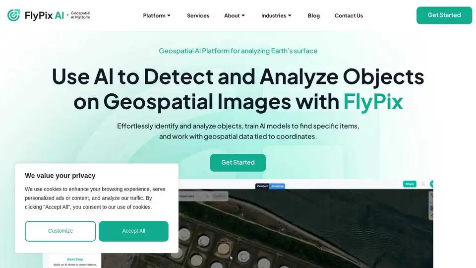
FlyPix AI is an AI-powered platform for automating geospatial image analysis, enabling users to detect, monitor, and inspect objects at scale, saving up to 99.7% of the time.
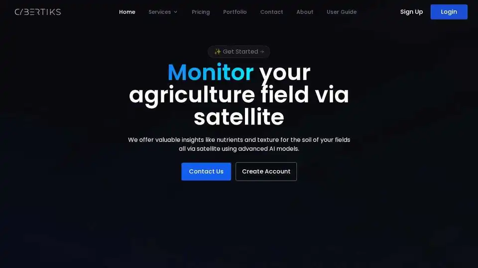
Cybertiks uses AI and satellite imagery to provide insights into soil nutrients and texture, enabling remote agriculture field monitoring and precision farming for optimized yields.
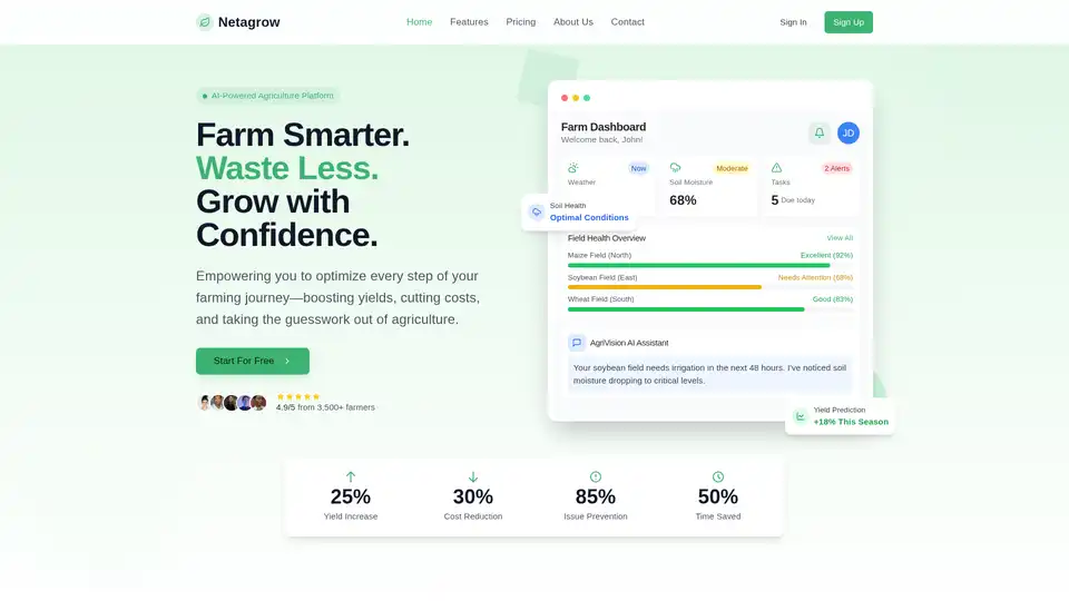
Netagrow: Transforming agriculture through intelligent technology. Smart farming solutions, IoT devices, real-time monitoring, and AI-powered insights for sustainable farming.
ML Blocks is a no-code platform that enables users to build AI-powered workflows for image generation, editing, and analysis. Drag-and-drop tools make it easy to create automations using models like Stable Diffusion, with transparent pay-per-use pricing.