Cybertiks
Overview of Cybertiks
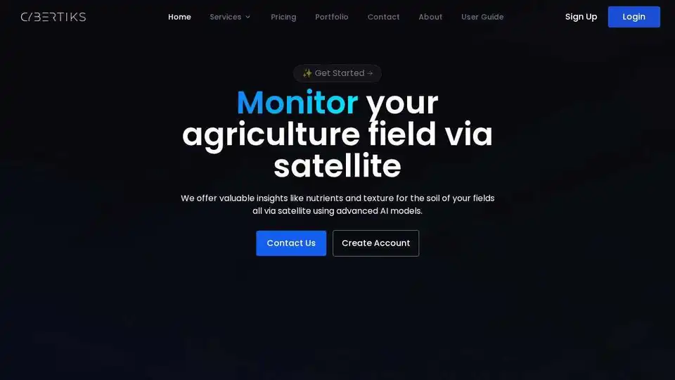
Cybertiks: AI-Powered Satellite Agriculture Monitoring for Optimized Yields
What is Cybertiks?
Cybertiks is a platform that leverages the power of satellite imagery and advanced AI models to provide valuable insights into agricultural fields. It specializes in remote sensing of industrial requirements, offering bespoke solutions designed to meet the pressing needs of diverse industries worldwide.
How Does Cybertiks Work?
Cybertiks enables users to remotely analyze any field in the world and obtain crucial metrics. Here's a breakdown of how it works:
- Field Outlining: Users can define their field's coordinates by drawing its outline on the platform.
- Historical Insights: Access historical metrics for the field, thanks to satellite historical archives.
- Status Monitoring: Monitor the status of the field and analyze changes. New results are provided every 7 days.
- Data Visualization: View analysis results on a map with a resolution of up to 100m2.
Behind the Scenes: Sensor Fusion
Cybertiks integrates multiple data sources to provide a comprehensive and strategic vision:
- Verified Validations: Validations from industrial organizations.
- Data Synchronization: Detects and synchronizes data from different sensors.
- Data Integration: Integrates optical, radar, and any available data.
- Deliverable: Presents data in a convenient and user-friendly way.
QSIS: Quantum-enabled Artificial Intelligence
Cybertiks utilizes thermodynamic information captured by electromagnetic sensors in space satellites, weather balloons, drones, cameras, and radars. This allows them to identify, classify, and quantify the presence of materials with quantum-enabled AI for scale and speed.
Key Services Offered by Cybertiks
- QSIS: Classify and quantify natural resources, elements, and minerals using thermodynamic information.
- Artificial Intelligence: Analyze, identify, measure, and correlate data to generate necessary reports and information.
- Software Development: Builds custom SaaS applications.
Why Choose Cybertiks?
- Accuracy: AI models offer over 80% accuracy after testing and validation.
- Experience: The organization brings together scientists, engineers, economists, project managers, companies, and NGOs with years of experience.
Who is Cybertiks for?
Cybertiks is ideal for:
- Farmers: Optimize crop yields through data-driven insights.
- Agricultural Businesses: Gain a competitive edge with advanced remote sensing technologies.
- Researchers: Conduct in-depth analysis of agricultural environments.
How to Get Started with Cybertiks
- Sign Up: Create an account on the Cybertiks platform.
- Create New Fields: Enter your field's coordinates to begin monitoring.
What is Cybertiks? It's a cutting-edge solution for precision agriculture that empowers users with actionable insights derived from satellite data and AI analysis.
How does Cybertiks work? By integrating various data sources and employing advanced AI algorithms, Cybertiks delivers accurate and timely information about soil conditions, crop health, and other critical agricultural parameters. This enables users to make informed decisions and optimize their farming practices.
How to use Cybertiks? Simply sign up, define your fields, and start monitoring. The platform provides intuitive tools for data visualization and analysis, allowing users to easily track changes and identify potential issues.
Why is Cybertiks important? It offers a unique combination of remote sensing technology and AI-driven insights, enabling farmers to increase efficiency, reduce costs, and improve sustainability.
Who is Cybertiks for? It's designed for farmers, agricultural businesses, researchers, and anyone seeking to leverage the power of data for precision agriculture.
Best Alternative Tools to "Cybertiks"
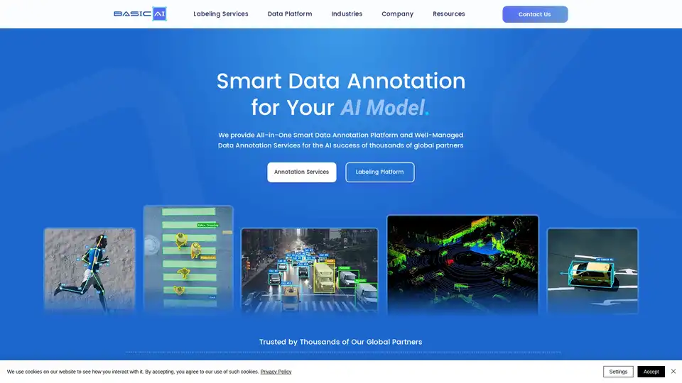
BasicAI offers a leading data annotation platform and professional labeling services for AI/ML models, trusted by thousands in AV, ADAS, and Smart City applications. With 7+ years of expertise, it ensures high-quality, efficient data solutions.
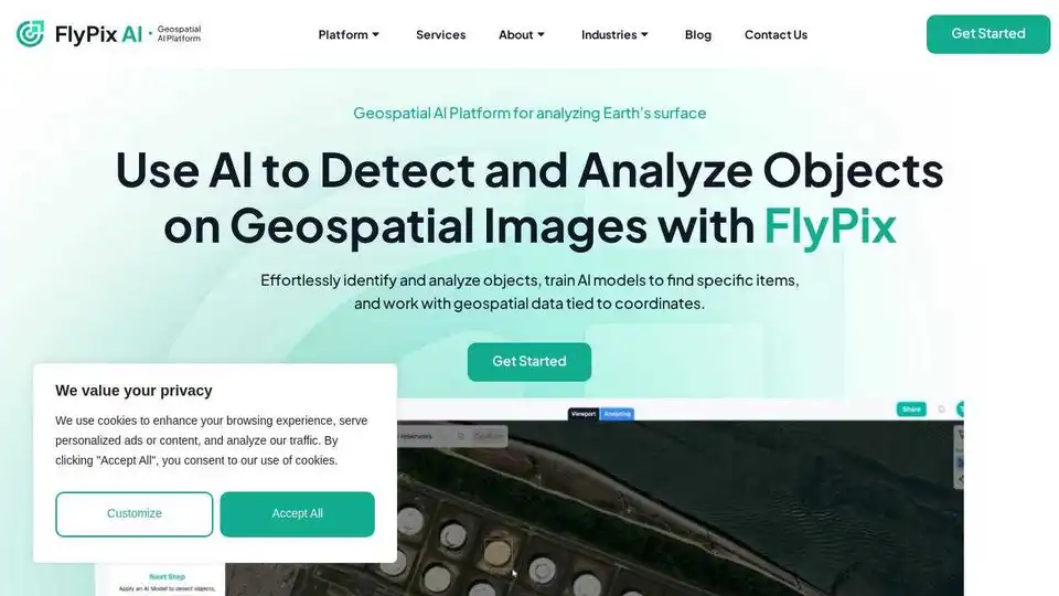
FlyPix AI is an AI-powered platform for automating geospatial image analysis, enabling users to detect, monitor, and inspect objects at scale, saving up to 99.7% of the time.
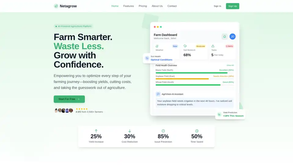
Netagrow: Transforming agriculture through intelligent technology. Smart farming solutions, IoT devices, real-time monitoring, and AI-powered insights for sustainable farming.

Polymath Robotics builds core autonomy and safety systems for off-highway vehicles. Trusted by OEMs, fleet operators, and defense leaders to power the future of autonomy.